Menu


home / Geology and Exploration
Adding value to exploration projects through the latest exploration techniques and innovative technologies to design and implement the exploration plan
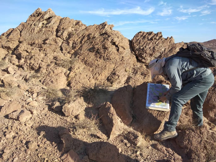
Our geologists have specialized knowledge in recognizing the mechanisms of the formation and distribution of mineral structures through a wide range of geological and structural settings Exploration services provided by this unit include the introduction of exploration targets, mapping and field analysis, remote sensing and geophysics, geochemistry, mineral system modeling, exploration project management, exploration strategy, and governmental consulting, health and safety guidance, and plan implementation.
Some activities of this unit:
Understanding geological processes and overcoming exploration challenges through structural interpretation of remote sensing data

Accurate interpretations of remote sensing data using a proper understanding of geology and geostructure that can be directly applied to introduce exploration targets. geological knowledge enables us to identify geological processes and structures and assess the probability of mineral resource deposition.
Some activities of this unit:
Statistical and geostatistical analyses are necessary to understand the distribution of the grade model and the continuity of the deposit. Our knowledge and experience will help you optimize drilling and sampling strategies and estimation parameters along with grade estimation.
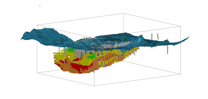
To fully understand the deposit, its grade model should be prepared. Our modeling techniques are based on geological evidence that encompasses a wide range of data and different deposits. Methods such as kriging, index kriging, and other up-to-date geostatistical methods are used to estimate mineral resources.
By using powerful GIS tools, we provide the possibility of mapping and spatial analysis of data quickly and easily.

Our professionals provide geographic information system (GIS) services and solutions that help solve various challenges and better understand phenomena. Using GIS, accurate spatial analysis will be provided and a variety of professional maps will be produced, including geological maps at various scales. Due to the extensive experience of our team, we can provide services such as advanced data management and database construction to our users.
Some activities of this unit:
Construction of robust 2D and 3D geophysical models along with observation, modification, and analysis of geophysical data together with geological and geochemical data interpretations
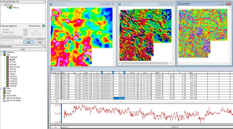
The generation and integration of geophysical grids in different cell sizes, applying various filters, and detecting the depth, extension, and shape of the mass will be done in the geophysical data processing software. Also, detecting the boundaries of bodies, faults, and surface fractures and suggesting drilling points are other services that will be provided by our experienced experts.
Identifying anomalies and targeting prospective areas using advanced laboratory methods and multi-element data analysis
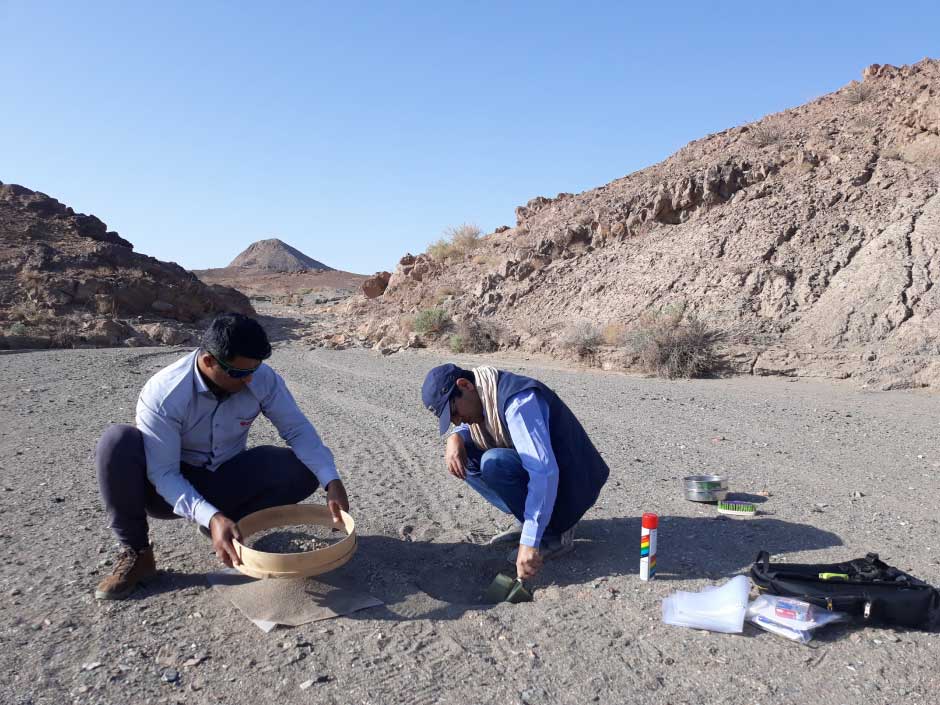
A comprehensive geochemical survey including the sampling of different types of environments such as soil, rock, and river sediments and analysis and statistical analysis performed on the data will lead to the identification of prospective areas and exploration targets.
Some of the activities of this unit:
Practical and environmental-friendly solutions to surface water management challenge through a comprehensive approach and extensive expertise. Also improving mine design, efficiency, and safety through geotechnical studies, long-term operational support, and supervision
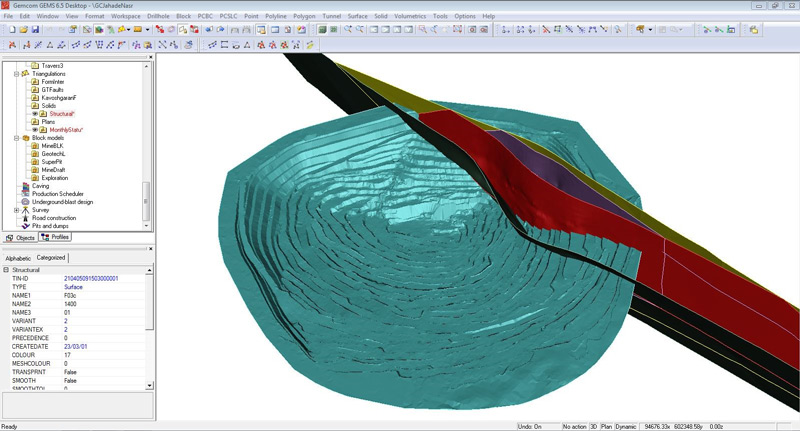
Our geotechnical experts have wide-ranging experience in the operation and design of slope stability of underground mines, pit slopes, tunnels, roads, and tailings dams. We help you make knowledgeable decisions based on your specific needs and risk profile by providing clear and comprehensive design options and time and mine risk assessments.
Practical and environmental-friendly solutions to surface water management challenge through a comprehensive approach and extensive expertise. Also improving mine design, efficiency, and safety through geotechnical studies, long-term operational support, and supervision
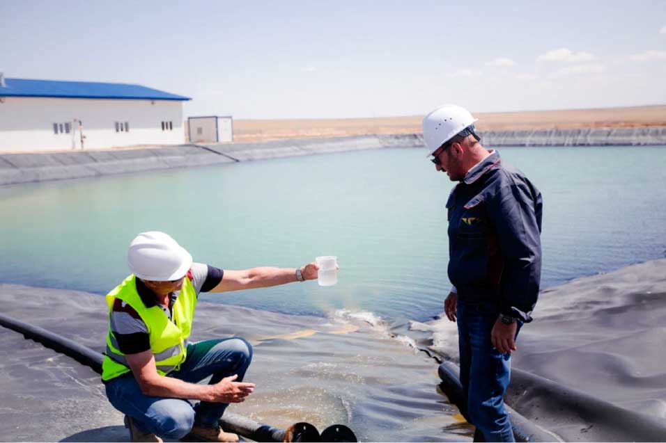
For mining and mineral processing activities, water management must be considered at every stage of the project from feasibility to completion, and strict environmental and social responsibility policies must also be observed.
Our combined and specialized surface water and groundwater assessment provides you with the gears to assess and meet your project’s hydrological requirements while also meeting broader development goals.
